Sign In
Autodesk University
AU 2024 Overview
On-demand sessions
Watch AU 2024
AU Classes
October 15, 2024
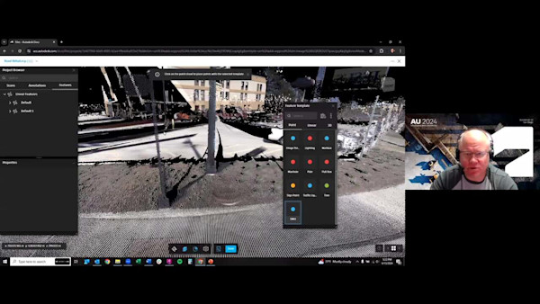
Get the Most from Your Point Cloud: Automated Feature Extraction
October 15, 2024
AEC Futures Briefing: Architecture
November 13, 2023
Power of Partnerships: Building an Asset Management System across Industry Leaders
November 13, 2023
Automated Linework from a Point Cloud Using Linear Feature Extraction
November 13, 2023
Digging into Surface Modeling with Civil 3D and ArcGIS
November 1, 2017
Transportation Summit
November 1, 2018
Flying High with ReCap, InfraWorks, and AutoCAD Civil 3D: Processing UAS Data
November 1, 2018
Round-Tripping: GIS to InfraWorks to LIDAR Point Clouds and Back Again
November 1, 2017
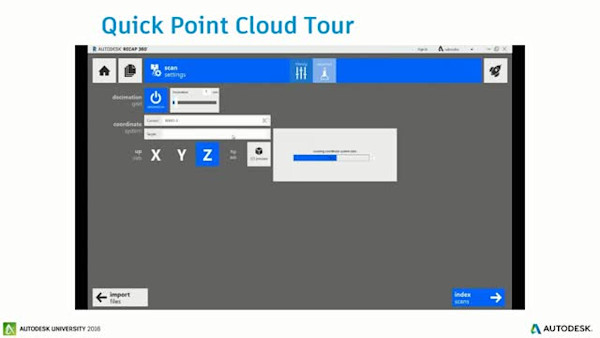
Drawing Intelligence from LIDAR Point Clouds
September 26, 2022
Giant Steps: Advances in Seamless BIM, CAD, and GIS Integration
November 1, 2016
Point Cloud Extraction for Infrastructure Projects
November 1, 2019
Civil 3D and Esri ArcGIS: Using Your Investments
November 1, 2017
Survey Scanner Point Cloud Processing Workflow: InfraWorks to AutoCAD Civil 3D
November 1, 2016
On Grid: Tools and Techniques to Place Reality Data in a Geographic Coordinate System
November 1, 2016
Using Large Point Clouds for Infrastructure Projects
November 1, 2016
Case Study: Huntington—Collect, Extract, and Visualize Assets with Mobile Mapping
November 1, 2021
Ask Me Anything: Civil 3D & InfraWorks Product Roadmaps
November 1, 2019
Connecting Esri and Autodesk: Using the Connector for ArcGIS in InfraWorks and Civil 3D
November 1, 2021
Ask Me Anything: Collaboration for Civil 3D Roadmap