Step-by-step Guide
With InfoWorks WS Pro, you can create background layers using raster images, such as aerial images or digital elevation maps.
- From the Model Group, Session 02, drag BridgeNet and drop it into the workspace to open the GeoPlan.
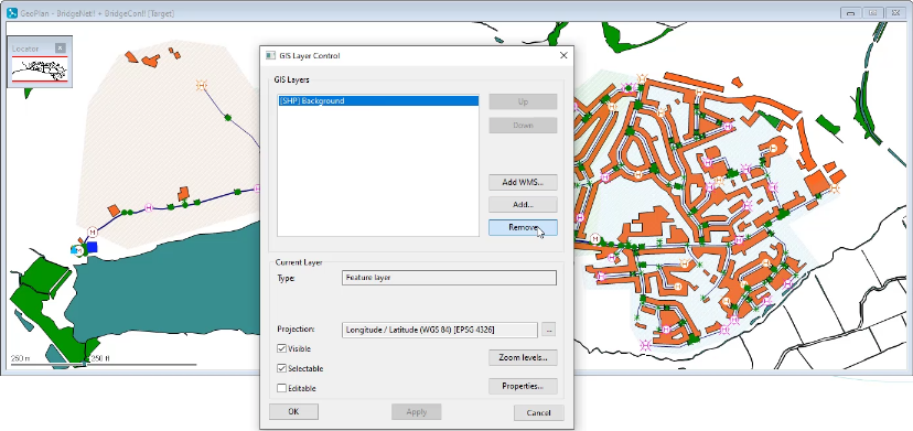
- Right-click in the GeoPlan and select Layer Control.
To remove a background layer that is already applied:
- In the GIS Layer Control dialog box, under GIS Layers, select the background.
- Click Remove.
To add a new background layer using a raster image:
- Click Add.
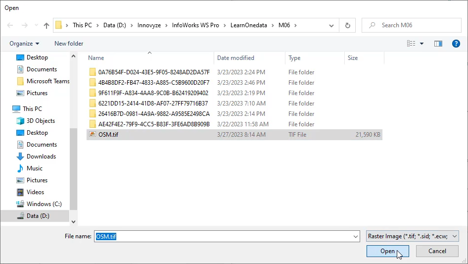
- In the file browser, expand the file type drop-down and select Raster Image.
- Navigate to the file OSM.tif.
- Select OSM.tif.
- Click Open.
In the GIS Layer Control dialog box, in the GIS Layers list, the raster image file appears.
- Under Current Layer, ensure Selectable is deselected.
- Click Apply.
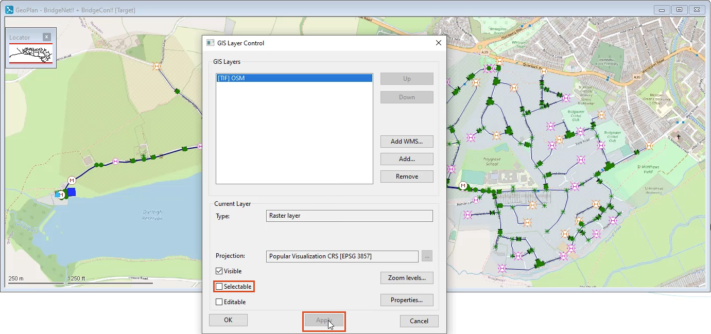
In the GeoPlan, the background raster image displays.
- Click OK.


