& Construction

Integrated BIM tools, including Revit, AutoCAD, and Civil 3D
& Manufacturing

Professional CAD/CAM tools built on Inventor and AutoCAD
Autodesk ReCap Pro software helps designers and engineers capture high-quality, detailed models of real-world assets. Use ReCap Pro to:
Deliver a point cloud or mesh and collaborate across teams with existing conditions and as-built assets
In addition to a subscription, you need Autodesk Flex tokens to process ReCap data (cloud) services such as Scan to Mesh and ReCap Photo projects. Learn more.
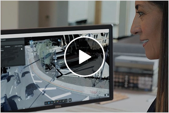
ReCap Pro overview (video 2:10 min)
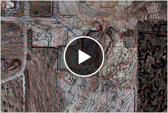
ReCap Pro + Infraworks + Civil 3D (video: 2:26 min.)
ReCap Pro + Revit (video: 51 sec.)
Gain critical insights that help you make better decisions.
Capture existing conditions throughout the full project lifecycle.
Streamline workflows by integrating with design tools.
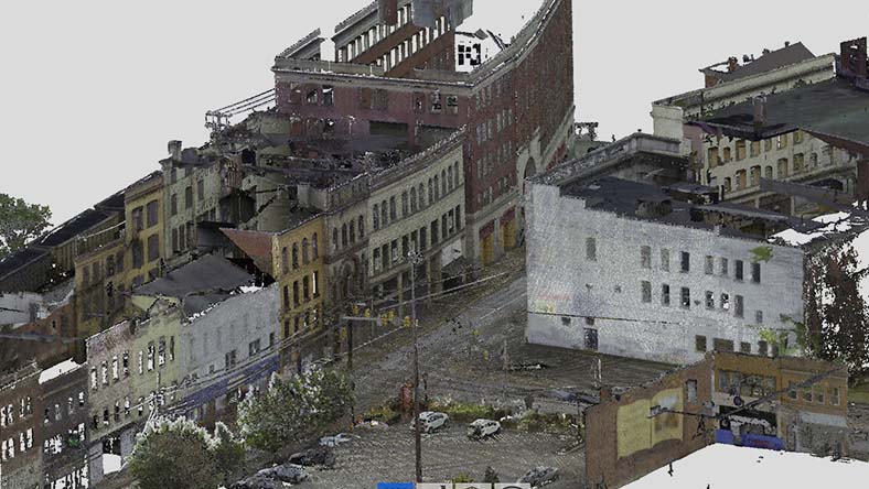
Use laser scans and photographs to generate accurate intelligent models that support a wide range of use cases in architecture, engineering, and construction (AEC).
Aggregate different types of laser scans and use automated extraction tools in the cloud to help define existing conditions when performing detailed design.
Improve efficiencies by managing and sharing reality capture data anytime, anywhere with the Autodesk Construction Cloud.
WEBINAR
Discover the latest capabilities to improve your reality capture workflows.
BLOG
See how you can streamline your reality capture workflows.
ROADMAP
See what’s new in the product development pipeline with a live look at the Civil Infrastructure public roadmap.
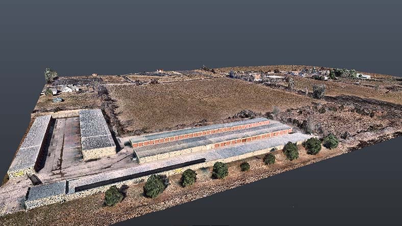
Autodesk ReCap Pro is used to create 3D models for real-world building and infrastructure projects.
Autodesk ReCap Pro is used by professionals in the architecture, engineering, and construction industry.
Gather detailed data using LIDAR or photogrammetry technology. A camera mounted to a drone or laser scanner can scan the site in hours.
Autodesk ReCap Standard is the free version of the Autodesk ReCap Pro desktop application. Read more about differences here.
Your Autodesk ReCap Pro subscription gives you access to install and use the 3 previous versions. Available downloads are listed in your Autodesk Account after subscribing. See also previous releases available for subscribers.
With a subscription to ReCap Pro software, you can install it on up to 3 computers or other devices. However, only the named user can sign in and use that software on a single computer at any given time. Please refer to the Software License Agreement for more information.
Launch your trial software and click Subscribe Now on the trial screen or buy ReCap Pro here. When buying your subscription, enter the same email address and password combination you used to sign in to your trial. Learn more about converting a trial to a paid subscription.
The price of an annual ReCap Pro subscription is
Compared with purchasing each product separately.
Utilize ReCap Pro with Autodesk design tools like Civil 3D, Revit, and InfraWorks to transform existing conditions of your projects into real-world digital representations.


