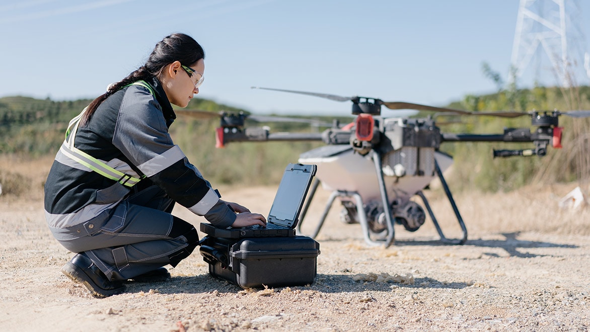
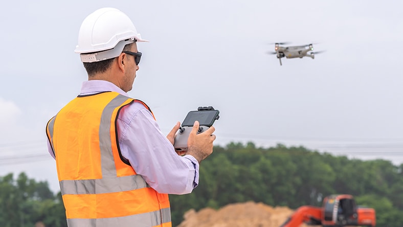
Here's how the drone data collection process works:
Flight planning: Before a drone takes off, surveyors plan its flight path over the area of interest. This path is often defined using GPS waypoints, ensuring that the drone systematically covers the entire area.
Data collection: Surveying drones are equipped with various types of sensors, such as RGB cameras, multispectral cameras, and LiDAR (Light Detection and Ranging). These sensors capture images, videos or even laser pulses that bounce off the ground, structures and vegetation.
Image capture: Cameras on a drone capture high-resolution images from various angles as it flies over a designated area. These images overlap to ensure comprehensive coverage and accurate mapping.
Data processing: After a surveying drone has collected data, it is transferred to a computer for processing. Software is used to stitch the individual images together, creating a cohesive mosaic that represents the entire area. In the case of LiDAR data, information is processed to create detailed elevation models.
Mapping and analysis: Once data is processed, it can be used to create various outputs, such as orthomosaic maps (geo-referenced images with corrected perspective), digital elevation models (DEM), 3D models, contour lines and vegetation health maps (using multispectral data).


