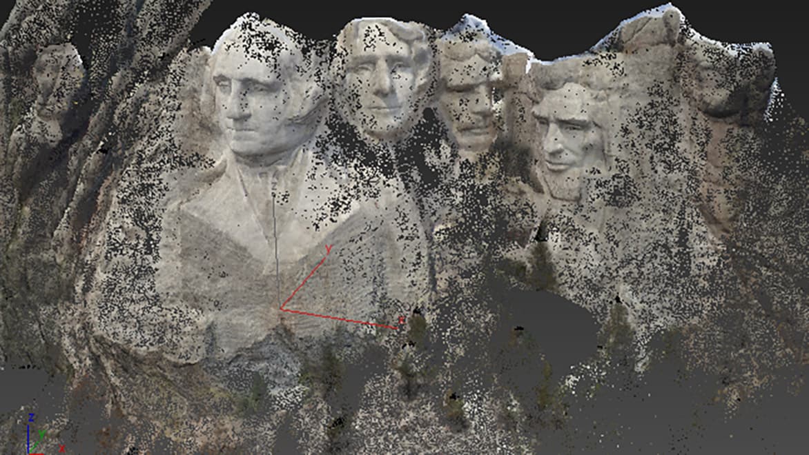
Point clouds start with data gathered from 3D scanning technologies like LiDAR (Light Detection and Ranging) or structured light scanning. LiDAR systems emit laser beams in a space and measure the time it takes the beams to reflect back. This information can be used to create a point cloud that accurately represents the structures and surfaces in the scanned area.
The accuracy of the 3D models produced from point clouds makes them a valuable tool to many industries. In architecture, point clouds help capture the current conditions and layout of a building, while measurement data is vital for construction and restoration projects. In the world of manufacturing, 3D models powered by point clouds allow product refinement and production at scale.


