00:01
Welcome to creating surfaces from non classified point cloud
00:06
This is the second objective in the creating surfaces
00:10
from point clouds in Civil
00:14
there to surface creation methods
00:16
and depending upon the classification of the point
00:19
cloud, you will use one or the other.
00:22
For non classified data.
00:23
We create a tin surface directly from the point cloud.
00:27
It's a one step process for classified data.
00:31
It's a 2-step process.
00:32
First, we must use the special map create p.c.
00:36
surface command to generate a raster grid file.
00:40
Then we use the create DTM surface
00:43
tool to build a grid based surface from that file.
00:46
We'll examine both methods.
00:48
So you can see the different results
00:50
to efficiently demonstrate.
00:52
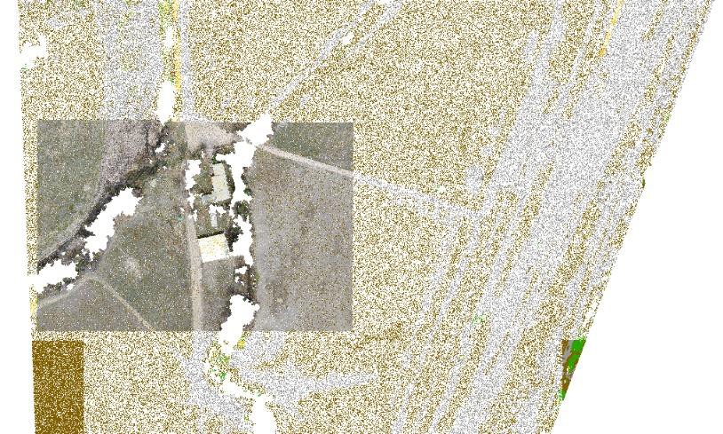
We're going to use a small area of the overall project.
00:56
This will allow us to work with a smaller data set
00:59
and get results with much less time.
01:03
Let's start with the direct surface creation.
01:06
This will create a 10 surface in a one step procedure
01:10
There are limited ways to control the number of points
01:13
used to build the surface.
01:15
The only options are to set the percentage of points
01:18
or the distance between the points.
01:21
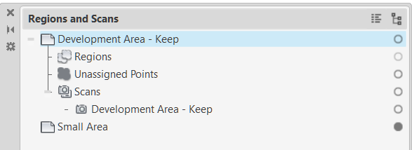
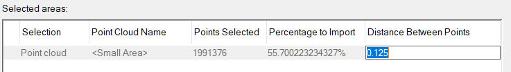
We begin on the Insert tab and attach the small area point
01:24
cloud expand the details to see that the point cloud is
01:31
about 3.5 million points.
01:34
Also see that the point cloud data
01:36
is clarified Next I open the classification panel.
01:41
I will only toggle on the ground category.
01:48
Let's pause for just a moment to explain
01:51
what's happening in our workflow in Civil 3D.
01:55
The create surface from point cloud function
01:58
does not recognize classification.
02:01
The data in our demonstration example
02:03
is clarified However it will behave exactly the same as
02:08
if it was non classified data.
02:11
So by using the same point cloud file in both of our examples,
02:16
we can enable comparison of these two surface creation
02:21
So the benefits of classification will be evident.
02:27
Now let's get back to our demonstration of the workflow
02:32
with only the brown ground points displayed.
02:36
I will launch the create surface from point cloud command
02:40
on the selection panel, we see that all 3.5 million points
02:46
So the filtering didn't work on the next panel.
02:49
There are options to process the points.
02:52
You could see that using either player average
02:55
or creaking interpolation will result in distortion.
02:59
The no filter option will be used
03:06
after the surfaces build will look at the statistics
03:09
to see the number of points.
03:11
And we see that almost all of the 3.5 million points
03:14
are used in this tin surface definition.
03:18
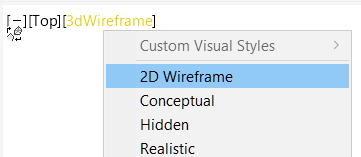
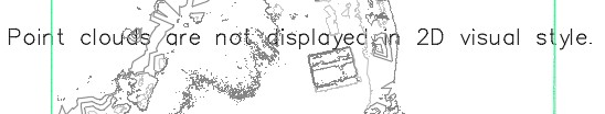
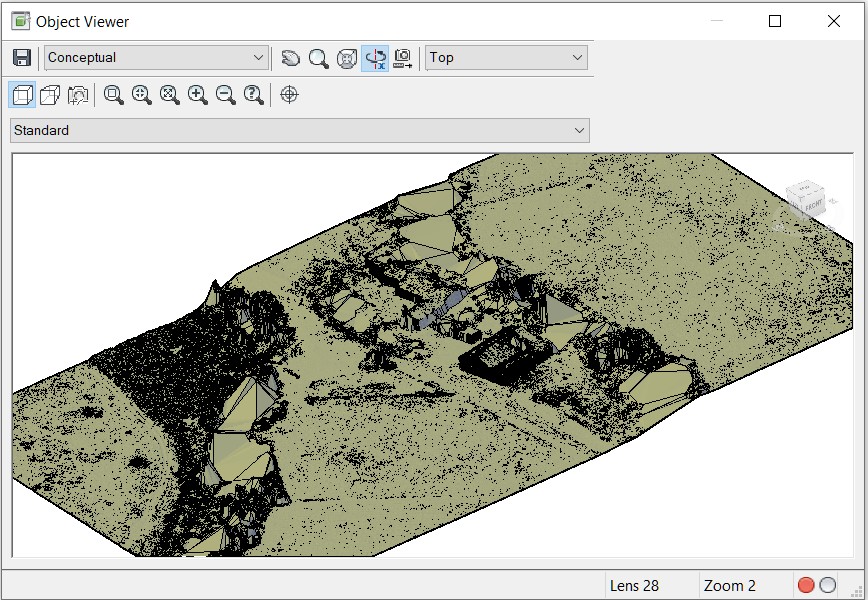
Changing the display style hides the points in the point cloud
03:22
and reveals the contours and it's
03:24
clear to see that the rough lines and vegetation have been
03:27
included in this surface, we have just
03:31
seen the one step method for creating surfaces
03:34
from point cloud data.
03:36
The two different methods used to create surfaces
03:39
give very different results using
03:42
non classified data and the civil 3D create surface
03:46
function give results that might not
03:49
be an accurate representation of the existing conditions
03:53
surface by using classified point cloud data.
03:57
This typically gives us better results
04:00
and we'll see in the next course objective
04:03
how we do that, this completes this objective
04:08
for the creating surfaces from point clouds in Civil 3D.